Three weeks after the devastation in Japan has given many people a good idea of how bad the earthquake and Tsunami struck the northeastern coast. Google was quick to deploy some comparison images before and after the disasters. While it was only a few comparison photos, it still wasn’t enough detail to see the whole situation.
Google has now released Google Earth imagery updates in the Sendai region of Japan, allowing people to really view the hard hit areas. Other areas surrounding Sendai are also included in the imagery update and are now available in Google Maps. It’s amazing how large the damage area was. You can go up and down the whole eastern coast of Japan and find damage a few miles in.
The satellite images were taken on 3/27 and 3/28 and are available in high resolution.
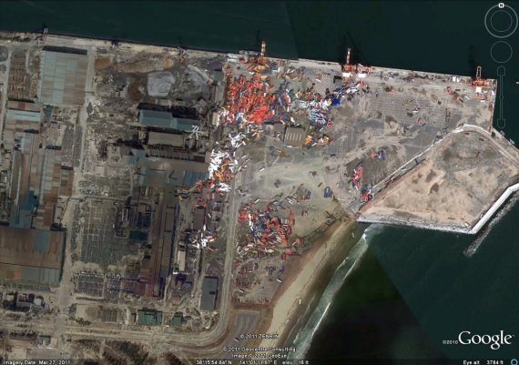

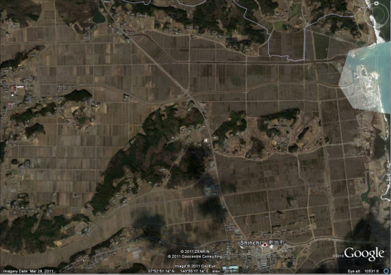
These are some of the images I took from Google Earth along the coast of Sendai, Japan. If you’re looking for more resolution I recommend checking it out yourself on Google Maps.


